|
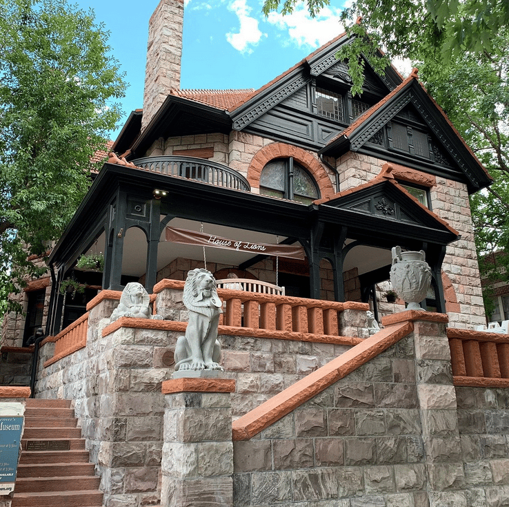
The late 1800's marks a period of railroad ‘fever’ in the Boulder and Denver areas. Many rails were being built and the Union Pacific promised a connection to the Pacific Ocean through Colorado and Salt Lake City. Part of this track included a rail up Boulder Canyon, referred to as the Boulder-Denver Valley Railroad. This was built over many years by the cash-rich Union Pacific. In 1897 the Colorado & North-Western Railway built a rail connecting Boulder to Ward. The scenic mountain views and a high potential for tourism gave this trail its nickname “Switzerland Trail”. Marketing compared the views from the rail to Switzerland, Italy, and Spain, encouraging people to sightsee locally. Over the years the route changed and expanded adding connections to better serve mining towns such as Eldora and to increase tourism by connecting to Denver. The Mont Alto Park, a stop near the summit of the railway in Sunset, CO, had a picnic area, pavilion, and white quartz fountain for mountain getaways. The railroad boom in this area greatly impacted the way of life. A trip from Eldora to Boulder for errands became only a day trip, and mining towns were more quickly equipped with essential supplies. For over two decades the Switzerland Trail was heavily used and was a popular attraction. The end of World War I negatively impacted the mining industry for tungsten which hurt many of the mines in the area. Over time, the rail industry became less profitable and more strapped for cash. Finally, in 1919, a flood washed out part of the railroad and the track was never rebuilt.
|
|
|
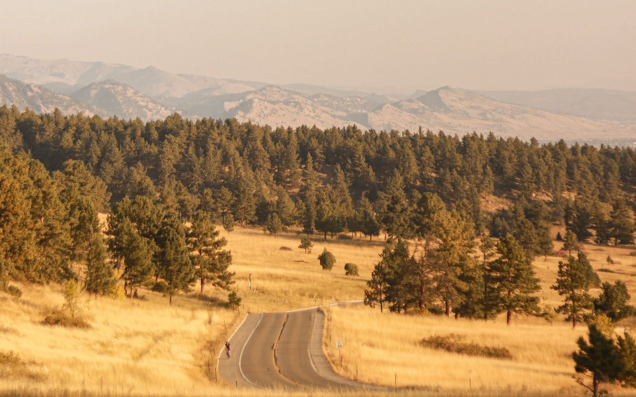
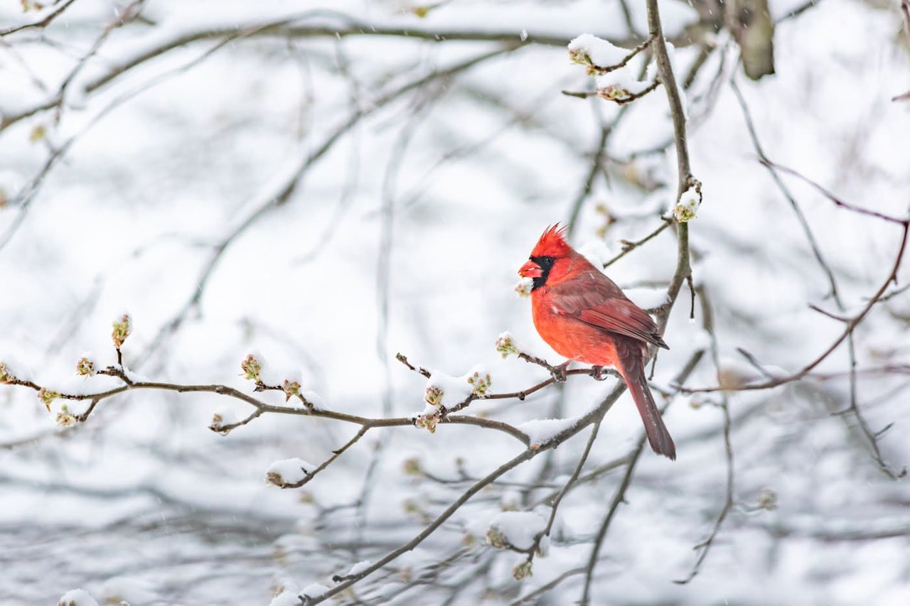
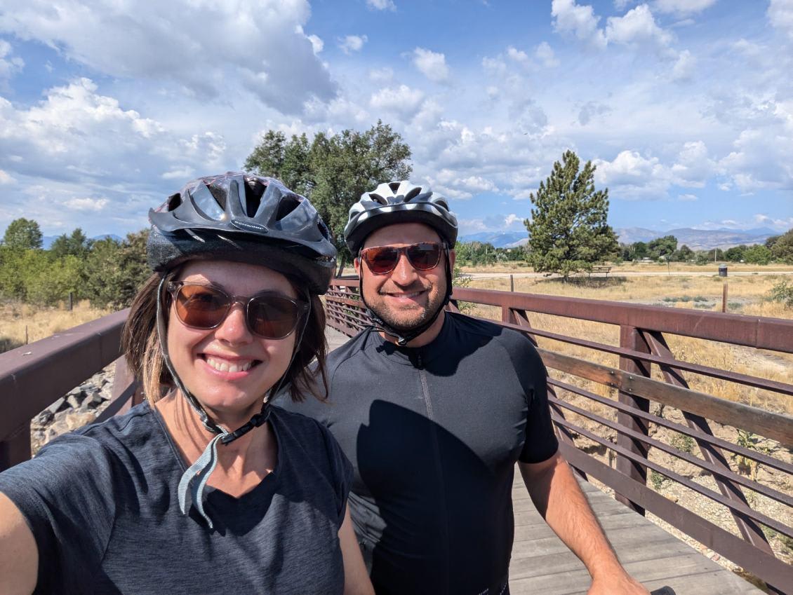
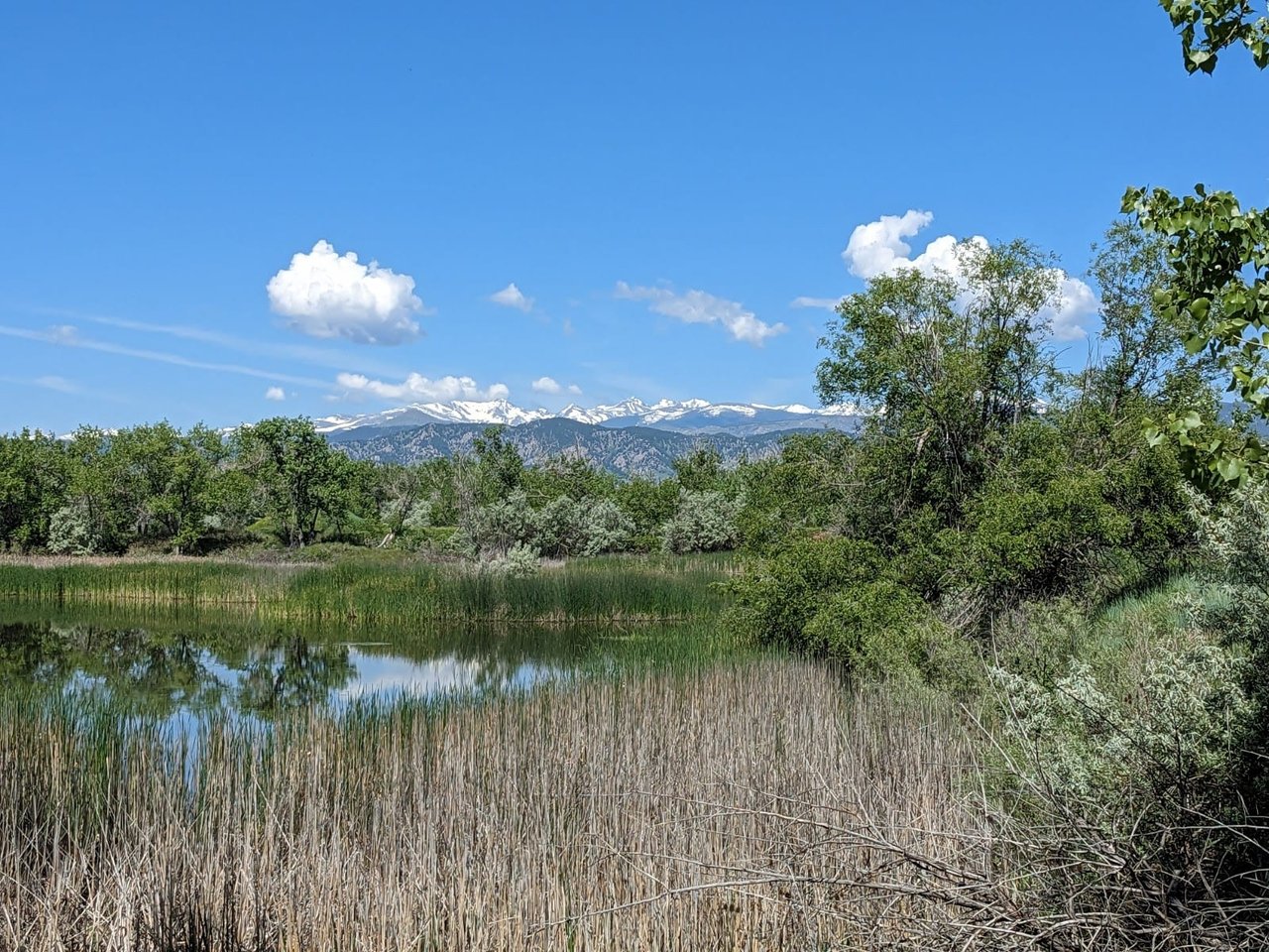
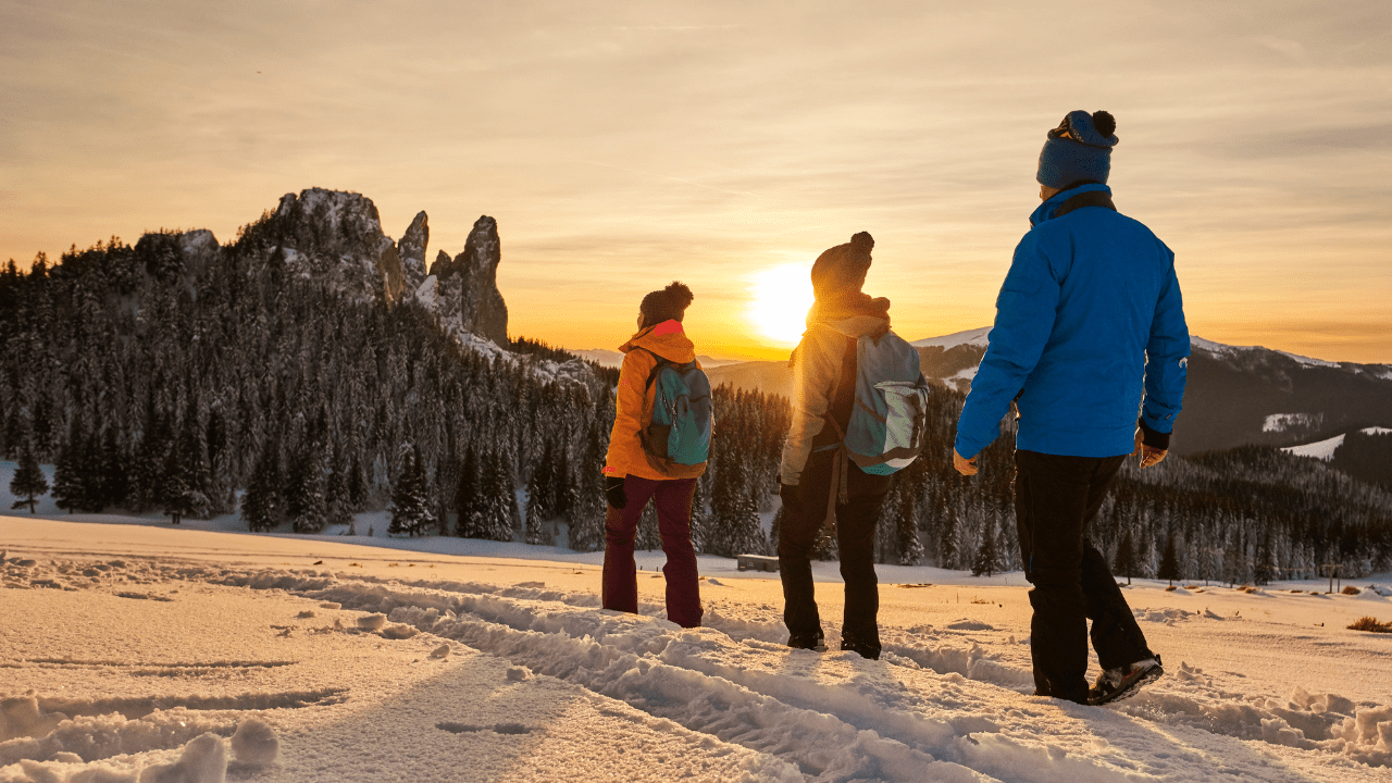
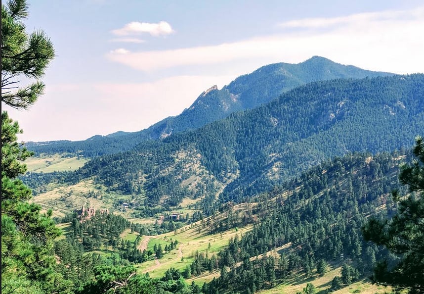
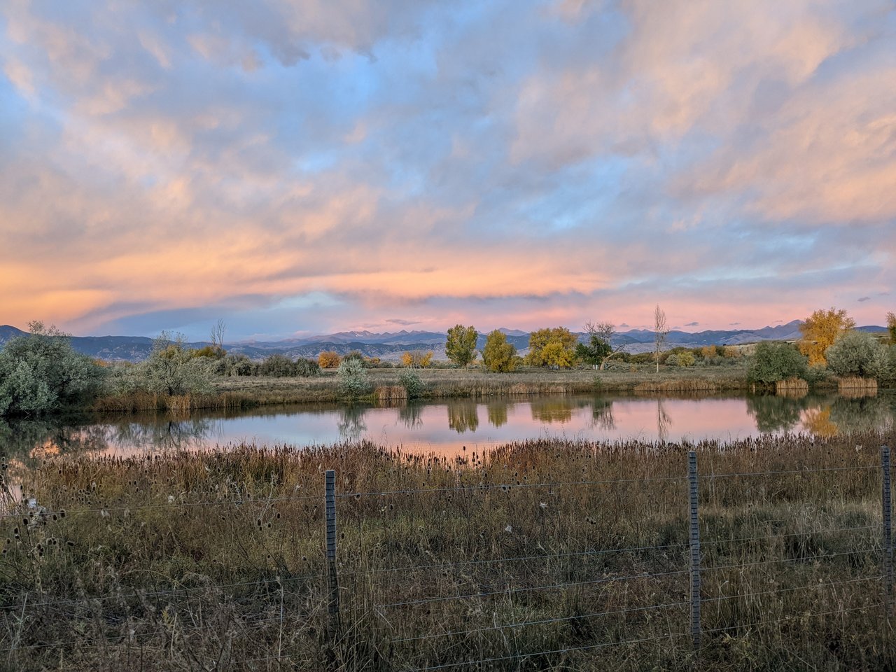
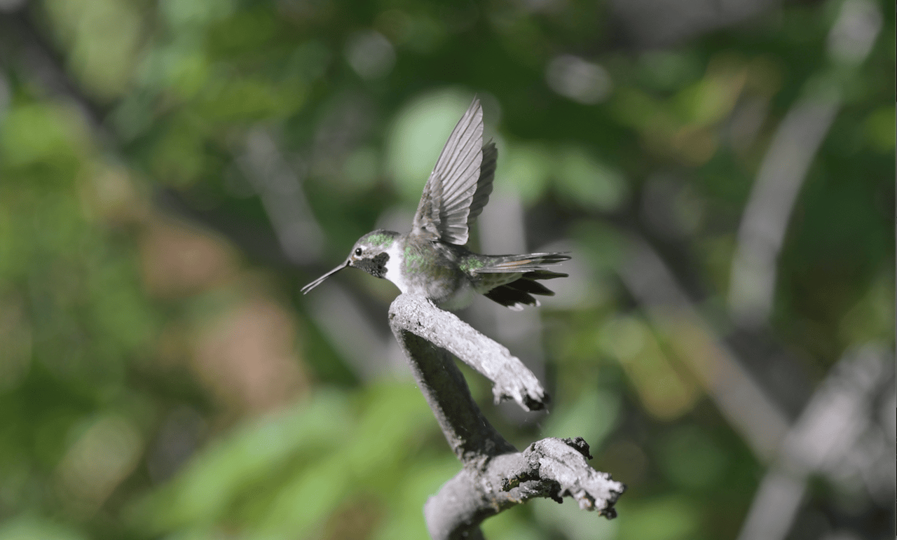
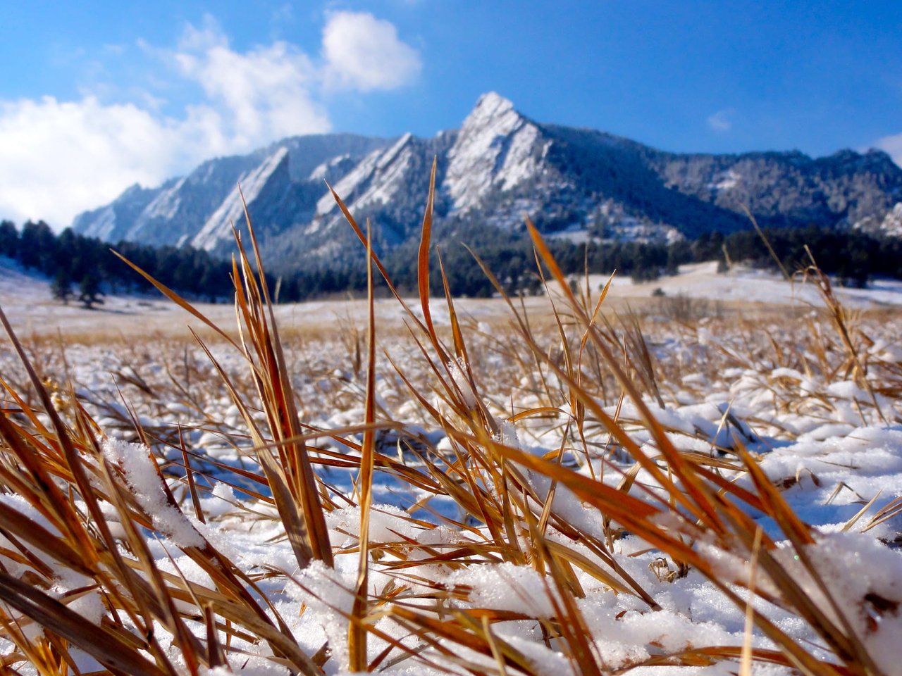
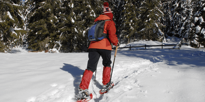
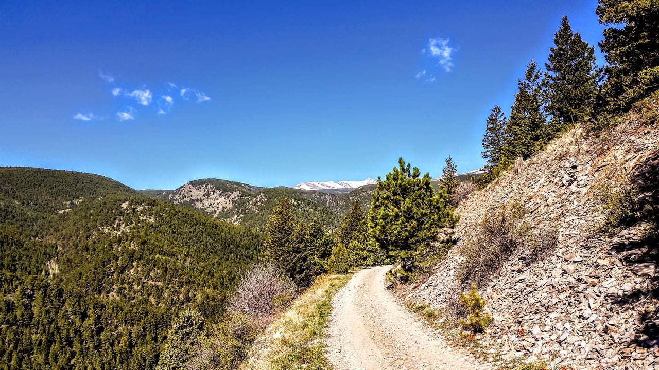
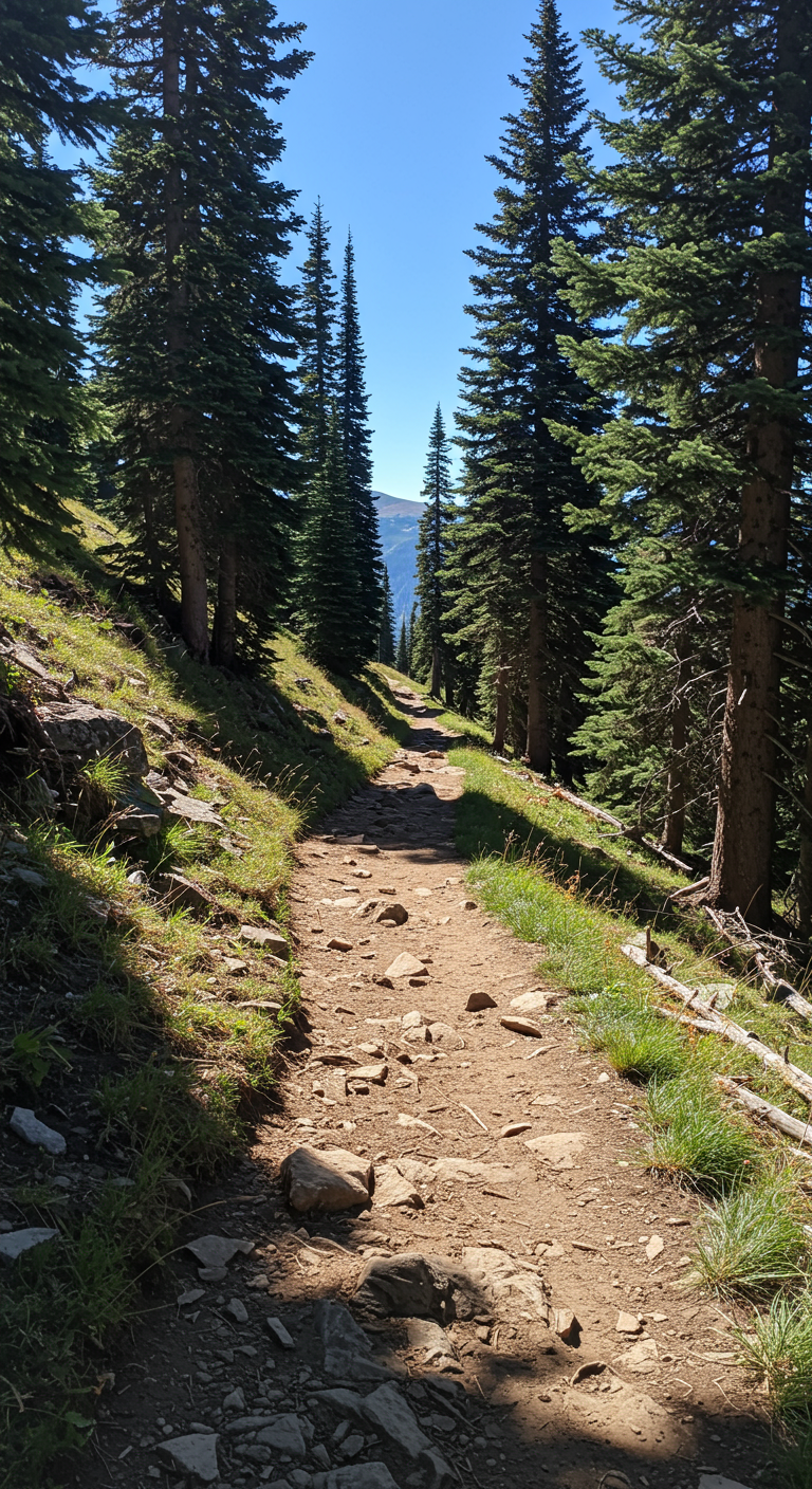
Current Activities and Routes As a historic railway, this trail provides gradual climbs and switchbacks through forests and aspen groves, past old mines, and by small communities. 35.4 miles of this trail is protected by the National Register of Historic Places to commemorate its significance to mining and transportation development in Colorado while also preserving the area for modern recreation including running, biking, and OHVs. While the rail tracks have been removed, running this trail sends you to the late 1800’s imagining what prospecting life looked like. The complete trail zig-zags between Eldora, Gold Hill, and Ward but there are many access points to do shorter out-and-backs. The only pavement you will see is the occasional crossing of other roads. From Boulder, we recommend driving to the access point past Sugarloaf Mountain off Sugarloaf Rd. There is a small trailhead giving access to a trail up Suglarloaf Mountain, and to the west is the Switzerland Trail. This point in the trail is a large switch back, so both ends appear to head west when they more roughly go north and south. Taking the segment on the right takes you on a smoothly graded trail descending before climbing again. If you’re game for a 10 mile loop, take a left at Pennsylvania Gulch before crossing Fourmile Creek for a steep climb. Eventually this will reconnect with the other segment of Switzerland Trail leading you back to the parking lot! From Sugarloaf Mountain, Mont Alto is over 7 miles one way, so a closer access point to this section of the trail is off of Gold Hill Rd. The Switzerland trail is great in the summer and fall to avoid high temperatures and to see golden aspens, respectively. Happy hiking! Until next time! |